


Overview of geographical features, assets and socio-demographics for Hamilton and for each Ward.
The indicators provided are a compilation of the most recent available data provided by the City of Hamilton’s:
- Healthy and Safe Communities Department, Children’s Services and Neighbourhood Development Division
- Healthy and Safe Communities Department, Epidemiology and Evaluation Division
- Planning and Economic Development Department, Community Planning & Design Division
Ward level data is based on the current City of Hamilton ward boundaries which came into effect December 1, 2018. Due to the ward boundary changes, previous data collected based on the old boundaries could not be used to provide ward change over time analysis. Updates to the profiles and indicators will be made based on availability of new data. Depending on the data source, the frequency of new data availability may range from monthly to once every five or ten years.

Ward Profile Data
All data used to create the Ward Profiles is also available as part of our Open Data Program.
2021 Our City Profile
A high-level overview of key demographics about the City of Hamilton.
2021 Ward Profiles
Ward 1, also known as the Chedoke-Cootes area is an urban ward, situated in the west end of Hamilton below the Niagara Escarpment (often referred to as the Mountain).
Ward 2, also known as the Downtown area is an urban ward situated in the centre of the city below the Niagara Escarpment (often referred to as the Mountain).
Ward 3, also known as Hamilton Centre is an urban ward situated in the lower city below the Niagara Escarpment (often referred to as the Mountain).
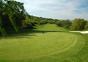
Ward 4, also known as the East Hamilton area is an urban ward situated in the lower city below the Niagara Escarpment (often referred to as the Mountain).
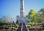
Ward 5, is located just east of the Redhill area is an urban ward situated in the lower city below the Niagara Escarpment (often referred to as the Mountain).

Ward 6, also known as the East Mountain area is primarily an urban ward situated in the east end of Hamilton on the Niagara Escarpment.
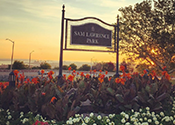
Ward 7, also known as the Central Mountain area is an urban ward, situated in the centre of Hamilton on the Niagara Escarpment.
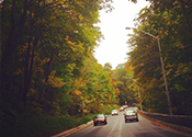
Ward 8, located within the West/Central Mountain area is an urban ward, situated in the west end of Hamilton on the Niagara Escarpment.
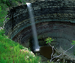
Ward 9, known as Upper Stoney Creek sits above the escarpment.

Ward 10, also known as the Lower Stoney Creek area is primarily an urban ward situated below the Niagara Escarpment with an industrial and commercial corridor south of the Queen Elizabeth Way.
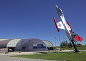
Ward 11, general comprises the municipality of Glanbrook.
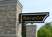
Ward 12, also known as the Ancaster area and extends into the west Flamborough rural area.
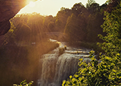
Ward 13, an urban, suburban, and rural ward containing the community of Dundas and the area of Flamborough between Highway 6 and 8.
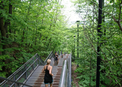
Ward 14 is located in the western portion of the Hamilton Mountain.
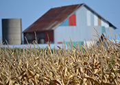
Ward 15, also known as the Flamborough East area is primarily a rural ward but includes some light industrial and commercial land as well as the urban area of Waterdown.
Date modified